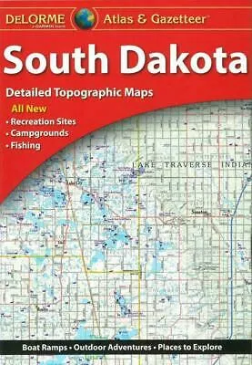
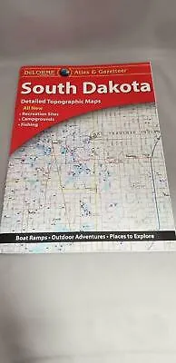
BRAND NEW Delorme South Dakota Atlas & Gazetteer Topographic Maps, Road & Travel Maps. Great for Camping, Fishing, Hunting, Hiking, Backpacking, Family Outings, Outdoor Adventure.
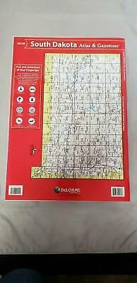
Rely on a DeLorme Atlas & Gazetteer for the utmost in trip planning and backcountry access. DeLorme Atlas & Gazetteers Are the Outdoor Enthusiasts' Choice. Topographic maps with unbeatable detail, including elevation contours, major highways and roads, dirt roads, trails and land use data. Gazetteer section contains information essential for any outdoor enthusiast, such as points of interest, landmarks, state and national parks, campgrounds, boat launches, golf courses, historic sites, hunting zones, canoe trips, scenic drive recommendations and more (Note: available information varies by state). Perfect for sightseeing, exploring back roads, outdoor recreation and trip planning. Amazingly detailed and beautifully crafted, large-format paper maps for all 50 states, size 11" x 15 1/2".
This listing is for the South Dakota Atlas and Gazetteer.
Map detail commonly includes:
- Back roads, dirt roads and trails
- Elevation contours
- Remote lakes and streams
- Boat Ramps
- Public lands for recreation
- Land use / land cover – forests, wetlands, agriculture
- Trailheads
- Campgrounds
- Prime hunting and fishing spots
- GPS - Grids & tick marks
Use the Atlas and Gazetteer for:
- In-vehicle for everyday reference
- Exploring back roads
- Outdoor recreation—preparation and navigation
- Business travel
- Planning vacations and leisure activities
- Armchair journeys
Beagle Outdoors has Delorme Atlas & Gazetteer for all 50 states available!
TIP: For lower prices on our atlases, map kits, paper, and folded wall maps, check out our promotions (click the link above the picture). Here is the info: Purchase 2 and get 5% off, 3 or more will get you 10% off! This promo includes ALL of our atlases, map kits, and folded wall maps. For example, purchase 1 National Geographic Benchmark atlas, 1 Delorme atlas, and 1 folded wall map (total of 3) and get 10% off!! Just put everything in your shopping cart and you will see the savings!
Requirements: None.
You will receive: 1 Delorme Atlas & Gazetteer.
Retail packaging, shipped in a poly envelope. Shipping weight 2 lbs.
If you have any questions or concerns, please contact us before or after the sale - we want you to be a happy customer!
Thanks for looking!

 Cart(
Cart(